Water Trough
Introduction
The photograph on this page of Water Trough by Simon Carey as part of the Geograph project.
The Geograph project started in 2005 with the aim of publishing, organising and preserving representative images for every square kilometre of Great Britain, Ireland and the Isle of Man.

There are currently over 7.5m images from over 14,400 individuals and you can help contribute to the project by visiting https://www.geograph.org.uk
Water Trough
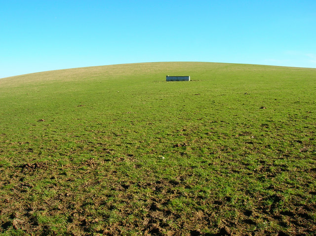
Image: © Simon Carey Taken: 9 Feb 2008
Taken from the bridleway that skirts round the Jack & Jill windmills. Beyond the peak the land drops steeply into a combe.
Images are licensed for reuse under creativecommons.org/licenses/by-sa/2.0
Image Location


Leaflet Map data © OpenStreetMap
Latitude
50.905583
Longitude
-0.144206