Trees and cattle near to High Gillerthwaite
Introduction
The photograph on this page of Trees and cattle near to High Gillerthwaite by Trevor Littlewood as part of the Geograph project.
The Geograph project started in 2005 with the aim of publishing, organising and preserving representative images for every square kilometre of Great Britain, Ireland and the Isle of Man.

There are currently over 7.5m images from over 14,400 individuals and you can help contribute to the project by visiting https://www.geograph.org.uk
Trees and cattle near to High Gillerthwaite
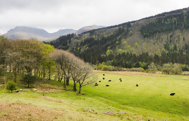
Image: © Trevor Littlewood Taken: 28 Apr 2021
High Gillerthwaite, Ennerdale Youth Hostel, is just out of view, to the left of the image. Pillar, Scoat Fell and Steeple are peaks along the skyline.
Images are licensed for reuse under creativecommons.org/licenses/by-sa/2.0
Image Location
Latitude
54.514631
Longitude
-3.327617