Ruswarp Lane, near Whitby
Introduction
The photograph on this page of Ruswarp Lane, near Whitby by Malc McDonald as part of the Geograph project.
The Geograph project started in 2005 with the aim of publishing, organising and preserving representative images for every square kilometre of Great Britain, Ireland and the Isle of Man.

There are currently over 7.5m images from over 14,400 individuals and you can help contribute to the project by visiting https://www.geograph.org.uk
Ruswarp Lane, near Whitby
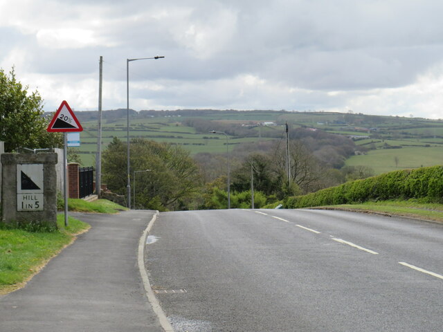
Image: © Malc McDonald Taken: 29 Apr 2021
Ruswarp Lane descends a steep gradient into the village of Ruswarp, near Whitby. This road forms part of the route of the B1416
Images are licensed for reuse under creativecommons.org/licenses/by-sa/2.0
Image Location


Leaflet Map data © OpenStreetMap
Latitude
54.474112
Longitude
-0.632887