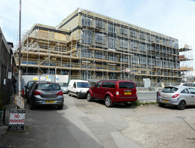
Coleman?s Yard
Introduction
The photograph on this page of Coleman?s Yard by John Baker as part of the Geograph project.
The Geograph project started in 2005 with the aim of publishing, organising and preserving representative images for every square kilometre of Great Britain, Ireland and the Isle of Man.
There are currently over 7.5m images from over 14,400 individuals and you can help contribute to the project by visiting https://www.geograph.org.uk

Image: © John Baker Taken: 18 Apr 2021
This is the entrance from Queen Street. The large building, in the process of being built, is a block of flats. Planning permission has been granted by Thanet District Council under application number F/TH/10/0573 for the “redevelopment of Court House site and conversion and extension of former Police Station to provide 82 one, two and three bedroom flats in a four and five storey building without compliance with condition 9 of planning permission OL/TH/04/1089”. This view of Image was taken in March 2020.

