Manordeifi New Church
Introduction
The photograph on this page of Manordeifi New Church by Dylan Moore as part of the Geograph project.
The Geograph project started in 2005 with the aim of publishing, organising and preserving representative images for every square kilometre of Great Britain, Ireland and the Isle of Man.

There are currently over 7.5m images from over 14,400 individuals and you can help contribute to the project by visiting https://www.geograph.org.uk
Manordeifi New Church
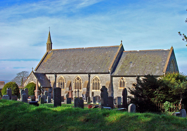
Image: © Dylan Moore Taken: 9 Feb 2008
This church was built in the mid 19th century to replace the historic old church (see SN2243) which was subject to flooding.
Images are licensed for reuse under creativecommons.org/licenses/by-sa/2.0
Image Location
Latitude
52.046815
Longitude
-4.58981