21st century housing in Cwmbran
Introduction
The photograph on this page of 21st century housing in Cwmbran by Jaggery as part of the Geograph project.
The Geograph project started in 2005 with the aim of publishing, organising and preserving representative images for every square kilometre of Great Britain, Ireland and the Isle of Man.

There are currently over 7.5m images from over 14,400 individuals and you can help contribute to the project by visiting https://www.geograph.org.uk
21st century housing in Cwmbran
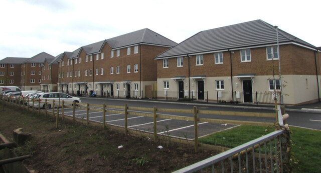
Image: © Jaggery Taken: 3 May 2021
South of Caldicot Way viewed from Lôn Nant in May 2021. The housing was not in an April 2019 Google Street View.
Images are licensed for reuse under creativecommons.org/licenses/by-sa/2.0
Image Location
Latitude
51.662952
Longitude
-3.018081