Field north of minor road close to Friar Bank Wood
Introduction
The photograph on this page of Field north of minor road close to Friar Bank Wood by Trevor Littlewood as part of the Geograph project.
The Geograph project started in 2005 with the aim of publishing, organising and preserving representative images for every square kilometre of Great Britain, Ireland and the Isle of Man.

There are currently over 7.5m images from over 14,400 individuals and you can help contribute to the project by visiting https://www.geograph.org.uk
Field north of minor road close to Friar Bank Wood
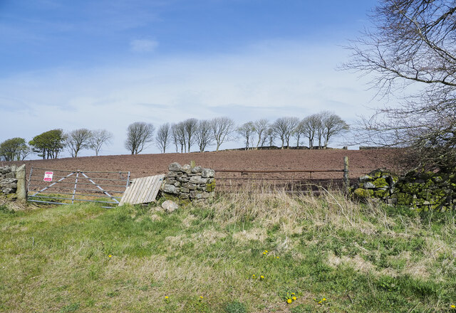
Image: © Trevor Littlewood Taken: 26 Apr 2021
The ploughed field is close to various small settlements, east of Pica for example; it's also north of the area of relatively low-level moorland at High Park. The notice on the gate declares that the land is private.
Images are licensed for reuse under creativecommons.org/licenses/by-sa/2.0
Image Location
Latitude
54.585442
Longitude
-3.490701