Wall and gate piers, Higher Warberry Road
Introduction
The photograph on this page of Wall and gate piers, Higher Warberry Road by Derek Harper as part of the Geograph project.
The Geograph project started in 2005 with the aim of publishing, organising and preserving representative images for every square kilometre of Great Britain, Ireland and the Isle of Man.

There are currently over 7.5m images from over 14,400 individuals and you can help contribute to the project by visiting https://www.geograph.org.uk
Wall and gate piers, Higher Warberry Road
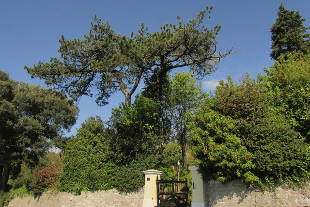
Image: © Derek Harper Taken: 27 Apr 2021
A view of Image] from further along the road. Presumably the left gate pier has had to have its nameplate altered twice. https://historicengland.org.uk/listing/the-list/list-entry/1206781
Images are licensed for reuse under creativecommons.org/licenses/by-sa/2.0
Image Location
Latitude
50.467384
Longitude
-3.51579