Crossroads, Warberries
Introduction
The photograph on this page of Crossroads, Warberries by Derek Harper as part of the Geograph project.
The Geograph project started in 2005 with the aim of publishing, organising and preserving representative images for every square kilometre of Great Britain, Ireland and the Isle of Man.

There are currently over 7.5m images from over 14,400 individuals and you can help contribute to the project by visiting https://www.geograph.org.uk
Crossroads, Warberries
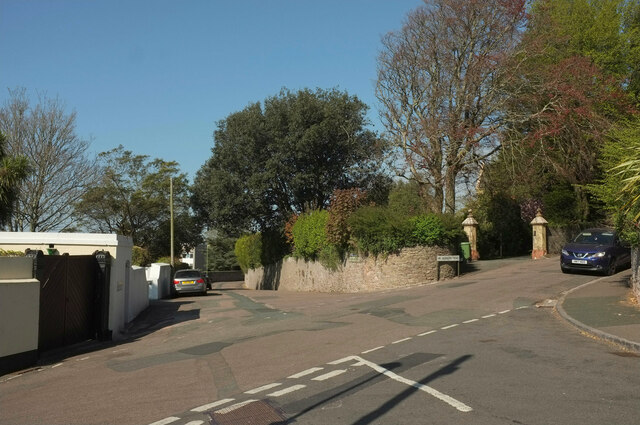
Image: © Derek Harper Taken: 27 Apr 2021
The junction shown in Image] from the other side. The original gate piers of Sutherland Tower have survived on the right.
Images are licensed for reuse under creativecommons.org/licenses/by-sa/2.0
Image Location
Latitude
50.467194
Longitude
-3.516629