The former St George's church, Sowerby - burial ground
Introduction
The photograph on this page of The former St George's church, Sowerby - burial ground by Stephen Craven as part of the Geograph project.
The Geograph project started in 2005 with the aim of publishing, organising and preserving representative images for every square kilometre of Great Britain, Ireland and the Isle of Man.

There are currently over 7.5m images from over 14,400 individuals and you can help contribute to the project by visiting https://www.geograph.org.uk
The former St George's church, Sowerby - burial ground
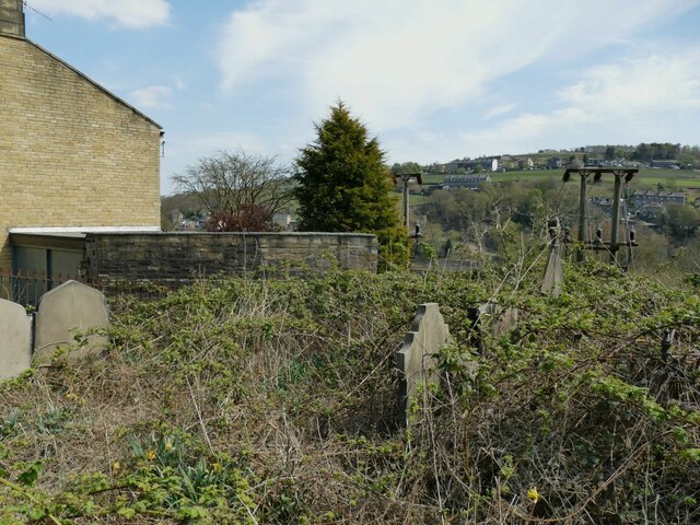
Image: © Stephen Craven Taken: 24 Apr 2021
The former churchyard on Haugh End Lane was closed to burials by Order in Council in 1990, shortly after the church itself was closed for worship. It is very overgrown.
Images are licensed for reuse under creativecommons.org/licenses/by-sa/2.0
Image Location
Latitude
53.704842
Longitude
-1.918465