Dugdale Drive, Warndon Villages, worcester
Introduction
The photograph on this page of Dugdale Drive, Warndon Villages, worcester by Chris Allen as part of the Geograph project.
The Geograph project started in 2005 with the aim of publishing, organising and preserving representative images for every square kilometre of Great Britain, Ireland and the Isle of Man.

There are currently over 7.5m images from over 14,400 individuals and you can help contribute to the project by visiting https://www.geograph.org.uk
Dugdale Drive, Warndon Villages, worcester
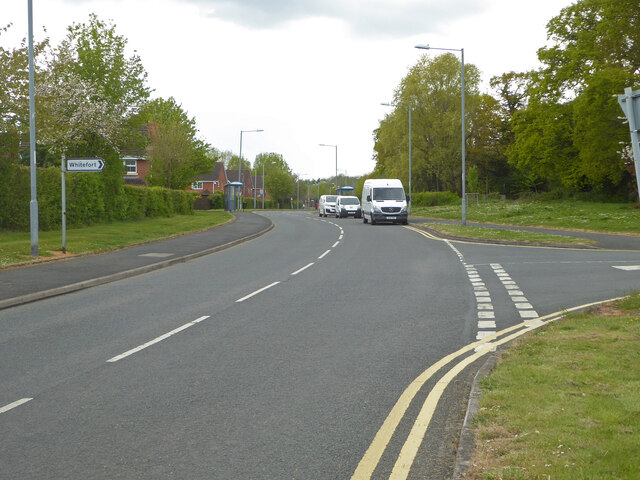
Image: © Chris Allen Taken: 2 May 2021
The sign on the left points into Bright Avenue into Harley Whitefort.
Images are licensed for reuse under creativecommons.org/licenses/by-sa/2.0
Image Location
Latitude
52.197519
Longitude
-2.171133