Mottisfont Village Hall
Introduction
The photograph on this page of Mottisfont Village Hall by Rosemary Oakeshott as part of the Geograph project.
The Geograph project started in 2005 with the aim of publishing, organising and preserving representative images for every square kilometre of Great Britain, Ireland and the Isle of Man.

There are currently over 7.5m images from over 14,400 individuals and you can help contribute to the project by visiting https://www.geograph.org.uk
Mottisfont Village Hall
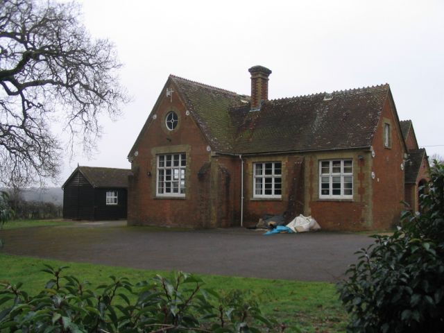
Image: © Rosemary Oakeshott Taken: 7 Feb 2008
The old school, which was closed in about 1980, has been converted into a village hall. Local primary school aged children now have to go to Lockerley, Awbridge or further afield.
Images are licensed for reuse under creativecommons.org/licenses/by-sa/2.0
Image Location


Leaflet Map data © OpenStreetMap
Latitude
51.039962
Longitude
-1.550378