Spynes Mere
Introduction
The photograph on this page of Spynes Mere by Ian Capper as part of the Geograph project.
The Geograph project started in 2005 with the aim of publishing, organising and preserving representative images for every square kilometre of Great Britain, Ireland and the Isle of Man.

There are currently over 7.5m images from over 14,400 individuals and you can help contribute to the project by visiting https://www.geograph.org.uk
Spynes Mere
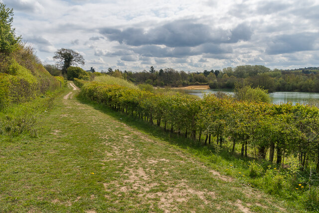
Image: © Ian Capper Taken: 30 Apr 2021
Path alongside the north of Spynes Mere, a former sand quarry now managed as a nature reserve by Surrey Wildlife Trust. In the background is an artificial sand cliff built to provide a nesting site for Sand Martins (Riparia riparia) - see Image for more detail.
Images are licensed for reuse under creativecommons.org/licenses/by-sa/2.0
Image Location
Latitude
51.257345
Longitude
-0.129847