Castle Hill (property), Towngate, Sowerby
Introduction
The photograph on this page of Castle Hill (property), Towngate, Sowerby by Stephen Craven as part of the Geograph project.
The Geograph project started in 2005 with the aim of publishing, organising and preserving representative images for every square kilometre of Great Britain, Ireland and the Isle of Man.

There are currently over 7.5m images from over 14,400 individuals and you can help contribute to the project by visiting https://www.geograph.org.uk
Castle Hill (property), Towngate, Sowerby
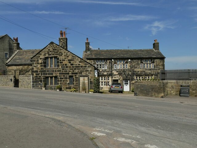
Image: © Stephen Craven Taken: 24 Apr 2021
Sowerby developed as a village in the 17th century although its origins go back much further than that. The house facing us in this photo, known merely as 52-54 Towngate (having been divided into to properties) dates from 1662 and is grade II* listed (entry 1319946). The house to the left, named Castle Hill after the nearby motte, is grade II (entry 1134460) and is mid-17th century with some earlier elements.
Images are licensed for reuse under creativecommons.org/licenses/by-sa/2.0
Image Location
Latitude
53.705844
Longitude
-1.941035