
A Very Short Tributary of the River Almond
Introduction
The photograph on this page of A Very Short Tributary of the River Almond by Ian Dodds as part of the Geograph project.
The Geograph project started in 2005 with the aim of publishing, organising and preserving representative images for every square kilometre of Great Britain, Ireland and the Isle of Man.

There are currently over 7.5m images from over 14,400 individuals and you can help contribute to the project by visiting https://www.geograph.org.uk
A Very Short Tributary of the River Almond
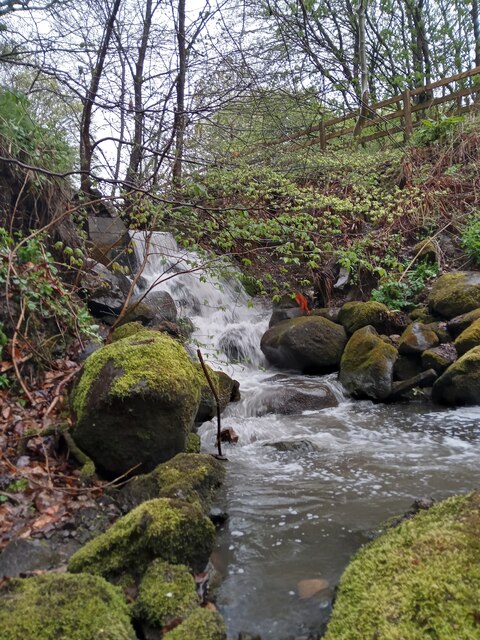
Image: © Ian Dodds Taken: 3 May 2021
This very short stream emerges, in a bit of a torrent, from underneath a track in Almond Park, a decent sized area of countryside in between the River Almond and the Livingston area of Craigshill. The stream was obviously re-routed during the construction of Livingston New Town, as a 1950s OS map shows it continuing a mile or so North. It is first discernable near a farm called Letham, that was located in what is currently called Craigshill North. A primary school in Craigshill is called Letham.
Images are licensed for reuse under creativecommons.org/licenses/by-sa/2.0
Image Location

Latitude
55.892304
Longitude
-3.491331