Weir on the River Irk
Introduction
The photograph on this page of Weir on the River Irk by David Dixon as part of the Geograph project.
The Geograph project started in 2005 with the aim of publishing, organising and preserving representative images for every square kilometre of Great Britain, Ireland and the Isle of Man.

There are currently over 7.5m images from over 14,400 individuals and you can help contribute to the project by visiting https://www.geograph.org.uk
Weir on the River Irk
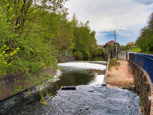
Image: © David Dixon Taken: 1 May 2021
The River Irk rises to the east of Royton and flows westward through Chadderton, Middleton and Blackley before merging with the River Irwell in the centre of Manchester. This view is looking upstream over one of several small weirs in this area alongside Collyhurst Road.
Images are licensed for reuse under creativecommons.org/licenses/by-sa/2.0
Image Location
Latitude
53.493334
Longitude
-2.229821