Downstream from the bridge at Brockdish
Introduction
The photograph on this page of Downstream from the bridge at Brockdish by Adrian S Pye as part of the Geograph project.
The Geograph project started in 2005 with the aim of publishing, organising and preserving representative images for every square kilometre of Great Britain, Ireland and the Isle of Man.

There are currently over 7.5m images from over 14,400 individuals and you can help contribute to the project by visiting https://www.geograph.org.uk
Downstream from the bridge at Brockdish
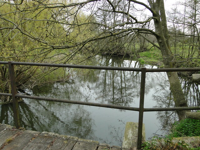
Image: © Adrian S Pye Taken: 2 May 2021
Downstream from the bridge, the river is almost obscured close to the bridge by overhanging trees. https://www.geograph.org.uk/photo/6826635
Images are licensed for reuse under creativecommons.org/licenses/by-sa/2.0
Image Location
Latitude
52.369099
Longitude
1.252527