Mount Pleasant North, Robin Hood's Bay
Introduction
The photograph on this page of Mount Pleasant North, Robin Hood's Bay by Malc McDonald as part of the Geograph project.
The Geograph project started in 2005 with the aim of publishing, organising and preserving representative images for every square kilometre of Great Britain, Ireland and the Isle of Man.

There are currently over 7.5m images from over 14,400 individuals and you can help contribute to the project by visiting https://www.geograph.org.uk
Mount Pleasant North, Robin Hood's Bay
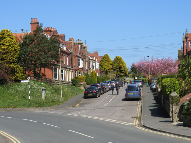
Image: © Malc McDonald Taken: 28 Apr 2021
Mount Pleasant North, in the village of Robin Hood's Bay on the Yorkshire coast. This road forms part of the routes of the Cleveland Way, the England Coast Path and the Coast to Coast Walk, as well as the Cinder Track which itself is on the route of National Cycle Network route 1.
Images are licensed for reuse under creativecommons.org/licenses/by-sa/2.0
Image Location


Leaflet Map data © OpenStreetMap
Latitude
54.435939
Longitude
-0.535328