Fairy ring below a track climbing up to North Fordon Farm
Introduction
The photograph on this page of Fairy ring below a track climbing up to North Fordon Farm by Christine Johnstone as part of the Geograph project.
The Geograph project started in 2005 with the aim of publishing, organising and preserving representative images for every square kilometre of Great Britain, Ireland and the Isle of Man.

There are currently over 7.5m images from over 14,400 individuals and you can help contribute to the project by visiting https://www.geograph.org.uk
Fairy ring below a track climbing up to North Fordon Farm
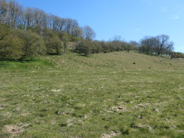
Image: © Christine Johnstone Taken: 18 Apr 2021
The track was mapped in 1850, on the earliest large-scale OS map. Then it led to High Barn [were North Fordon Farm is now] and a chalk pit on the Fordon - Flixton road.
Images are licensed for reuse under creativecommons.org/licenses/by-sa/2.0
Image Location


Leaflet Map data © OpenStreetMap
Latitude
54.16835
Longitude
-0.406927