Hoveringham Mill Farmhouse
Introduction
The photograph on this page of Hoveringham Mill Farmhouse by Alan Murray-Rust as part of the Geograph project.
The Geograph project started in 2005 with the aim of publishing, organising and preserving representative images for every square kilometre of Great Britain, Ireland and the Isle of Man.

There are currently over 7.5m images from over 14,400 individuals and you can help contribute to the project by visiting https://www.geograph.org.uk
Hoveringham Mill Farmhouse
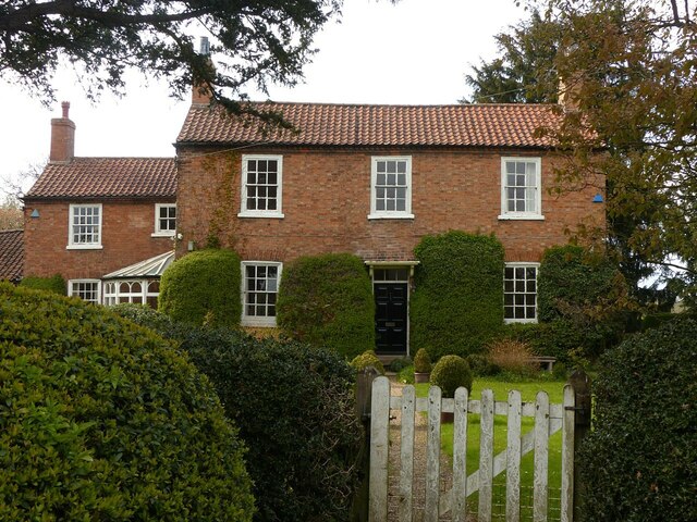
Image: © Alan Murray-Rust Taken: 28 Apr 2021
The house was added to the existing house http://www.geograph.org.uk/photo/6826196 in 1846 to serve as the farmhouse for the farm added to the mill. The wing to the left is the older house, dated 1778, with the mill further to the left. The mill and house are Listed Grade II. Hoveringham Mill is one of 12 mills on the Dover Beck in just over 10km as the crow flies, which are described in detail in this link https://www.woodborough-heritage.org.uk/millsonthedoverbeck.html There appears to have been a mill on the site since before the Domesday Book.
Images are licensed for reuse under creativecommons.org/licenses/by-sa/2.0
Image Location
Latitude
53.012247
Longitude
-0.980916