Causewayed footpath off Shield Hall Lane
Introduction
The photograph on this page of Causewayed footpath off Shield Hall Lane by Stephen Craven as part of the Geograph project.
The Geograph project started in 2005 with the aim of publishing, organising and preserving representative images for every square kilometre of Great Britain, Ireland and the Isle of Man.

There are currently over 7.5m images from over 14,400 individuals and you can help contribute to the project by visiting https://www.geograph.org.uk
Causewayed footpath off Shield Hall Lane
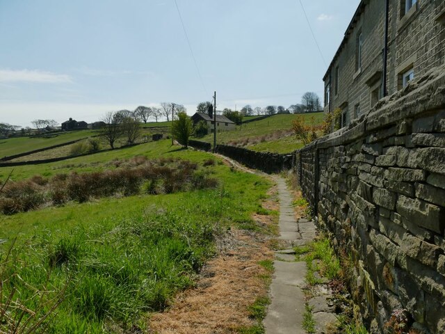
Image: © Stephen Craven Taken: 24 Apr 2021
The path leads to Snape Wood farm and Higham and Dob Lane. The name of the houses to the right (Miry Wall), and reeds to the left, should give an indication of why the path needed to be paved.
Images are licensed for reuse under creativecommons.org/licenses/by-sa/2.0
Image Location
Latitude
53.709894
Longitude
-1.952391