Steps to Ruswarp, near Whitby
Introduction
The photograph on this page of Steps to Ruswarp, near Whitby by Malc McDonald as part of the Geograph project.
The Geograph project started in 2005 with the aim of publishing, organising and preserving representative images for every square kilometre of Great Britain, Ireland and the Isle of Man.

There are currently over 7.5m images from over 14,400 individuals and you can help contribute to the project by visiting https://www.geograph.org.uk
Steps to Ruswarp, near Whitby
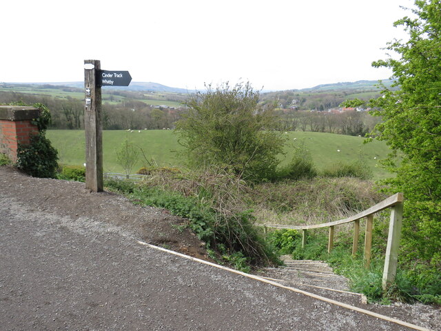
Image: © Malc McDonald Taken: 28 Apr 2021
A flight of steps leading down from the Cinder Track walking and cycling path, enabling walkers to reach the nearby village of Ruswarp. The North Yorkshire Moors form the backdrop to this image.
Images are licensed for reuse under creativecommons.org/licenses/by-sa/2.0
Image Location


Leaflet Map data © OpenStreetMap
Latitude
54.472783
Longitude
-0.618734