A523 out of Waterhouses
Introduction
The photograph on this page of A523 out of Waterhouses by Trevor Harris as part of the Geograph project.
The Geograph project started in 2005 with the aim of publishing, organising and preserving representative images for every square kilometre of Great Britain, Ireland and the Isle of Man.

There are currently over 7.5m images from over 14,400 individuals and you can help contribute to the project by visiting https://www.geograph.org.uk
A523 out of Waterhouses
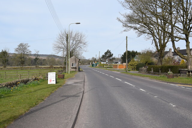
Image: © Trevor Harris Taken: 24 Apr 2021
Looking west and taken from opposite The George (now closed) and the southern end of Waterfall Lane.
Images are licensed for reuse under creativecommons.org/licenses/by-sa/2.0
Image Location
Latitude
53.051433
Longitude
-1.884642