Roadside stile to public footpath, Brynygwenin
Introduction
The photograph on this page of Roadside stile to public footpath, Brynygwenin by M J Roscoe as part of the Geograph project.
The Geograph project started in 2005 with the aim of publishing, organising and preserving representative images for every square kilometre of Great Britain, Ireland and the Isle of Man.

There are currently over 7.5m images from over 14,400 individuals and you can help contribute to the project by visiting https://www.geograph.org.uk
Roadside stile to public footpath, Brynygwenin
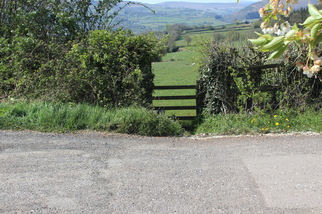
Image: © M J Roscoe Taken: 23 Apr 2021
The path goes west from the end of the road towards the Old Ross Road.
Images are licensed for reuse under creativecommons.org/licenses/by-sa/2.0
Image Location
Latitude
51.836477
Longitude
-2.976708