The mill race at Mendham watermill
Introduction
The photograph on this page of The mill race at Mendham watermill by Adrian S Pye as part of the Geograph project.
The Geograph project started in 2005 with the aim of publishing, organising and preserving representative images for every square kilometre of Great Britain, Ireland and the Isle of Man.

There are currently over 7.5m images from over 14,400 individuals and you can help contribute to the project by visiting https://www.geograph.org.uk
The mill race at Mendham watermill
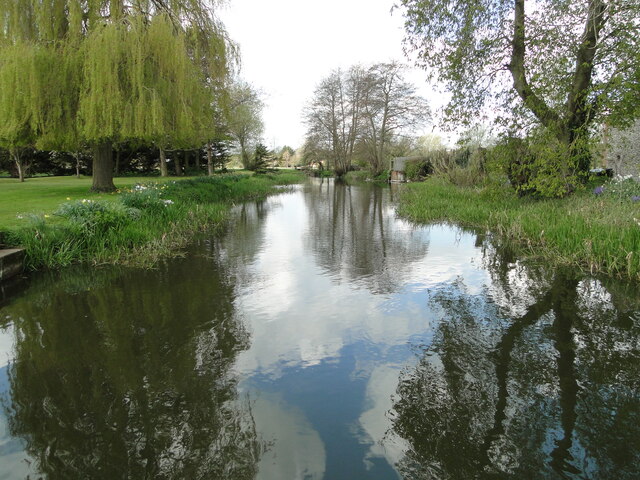
Image: © Adrian S Pye Taken: 2 May 2021
A two stage weir upstream, controls the water level in the race, any overfill is prevented by the relief channel fed by the sluice seen on the right. Mendham former watermill on the River Waveney https://www.geograph.org.uk/photo/6824976 Access to the grounds was requested and granted by the kind permission of the owner.
Images are licensed for reuse under creativecommons.org/licenses/by-sa/2.0
Image Location
Latitude
52.400583
Longitude
1.336156