Marton le Moor converted church
Introduction
The photograph on this page of Marton le Moor converted church by Mel Towler as part of the Geograph project.
The Geograph project started in 2005 with the aim of publishing, organising and preserving representative images for every square kilometre of Great Britain, Ireland and the Isle of Man.

There are currently over 7.5m images from over 14,400 individuals and you can help contribute to the project by visiting https://www.geograph.org.uk
Marton le Moor converted church
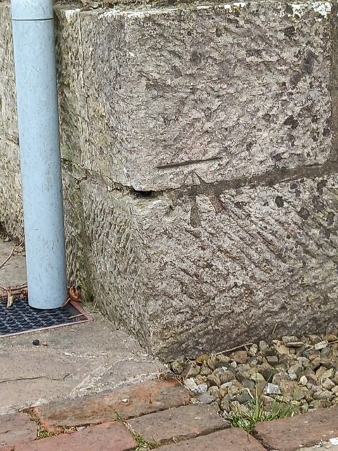
Image: © Mel Towler Taken: 1 May 2021
Benchmark, as noted on 1909 map. Bottom left of road facing exterior. Converted to dwelling about 10 years ago.
Images are licensed for reuse under creativecommons.org/licenses/by-sa/2.0
Image Location
Latitude
54.128115
Longitude
-1.43225