Primary school at Hackforth
Introduction
The photograph on this page of Primary school at Hackforth by Gordon Hatton as part of the Geograph project.
The Geograph project started in 2005 with the aim of publishing, organising and preserving representative images for every square kilometre of Great Britain, Ireland and the Isle of Man.

There are currently over 7.5m images from over 14,400 individuals and you can help contribute to the project by visiting https://www.geograph.org.uk
Primary school at Hackforth
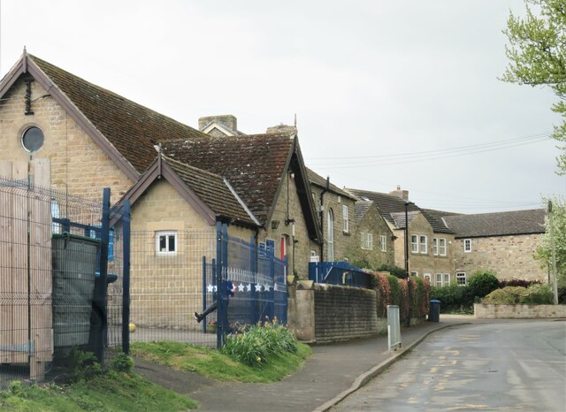
Image: © Gordon Hatton Taken: 29 Apr 2021
Hackforth is a very small village, but can boast a school, village hall and pub. The school is described as 'Hackforth and Hornby', but both settlements combined would hardly make a decent sized village. One assumes that the catchment area for this school must be fairly extensive.
Images are licensed for reuse under creativecommons.org/licenses/by-sa/2.0
Image Location
Latitude
54.333422
Longitude
-1.625349