Information board on local mines at the Nags Head, Pontesbury
Introduction
The photograph on this page of Information board on local mines at the Nags Head, Pontesbury by Jeremy Bolwell as part of the Geograph project.
The Geograph project started in 2005 with the aim of publishing, organising and preserving representative images for every square kilometre of Great Britain, Ireland and the Isle of Man.

There are currently over 7.5m images from over 14,400 individuals and you can help contribute to the project by visiting https://www.geograph.org.uk
Information board on local mines at the Nags Head, Pontesbury
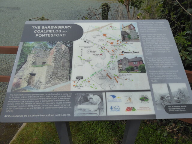
Image: © Jeremy Bolwell Taken: 28 Apr 2021
I had not noticed this info board until today, packed as it is with the history of local mine workings.
Images are licensed for reuse under creativecommons.org/licenses/by-sa/2.0
Image Location
Latitude
52.649278
Longitude
-2.878986