Road to Tredington
Introduction
The photograph on this page of Road to Tredington by Philip Halling as part of the Geograph project.
The Geograph project started in 2005 with the aim of publishing, organising and preserving representative images for every square kilometre of Great Britain, Ireland and the Isle of Man.

There are currently over 7.5m images from over 14,400 individuals and you can help contribute to the project by visiting https://www.geograph.org.uk
Road to Tredington
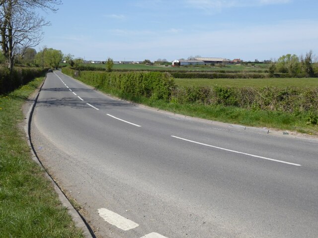
Image: © Philip Halling Taken: 24 Apr 2021
Road to Tredington from its junction with the A38 by the Odessa Inn. The A38 follows the ridge on the horizon. This is an unclassified road but a busy rat-run through to Bishops Cleeve.
Images are licensed for reuse under creativecommons.org/licenses/by-sa/2.0
Image Location
Latitude
51.966038
Longitude
-2.152345