Bluebell Walk
Introduction
The photograph on this page of Bluebell Walk by Gordon Hatton as part of the Geograph project.
The Geograph project started in 2005 with the aim of publishing, organising and preserving representative images for every square kilometre of Great Britain, Ireland and the Isle of Man.

There are currently over 7.5m images from over 14,400 individuals and you can help contribute to the project by visiting https://www.geograph.org.uk
Bluebell Walk
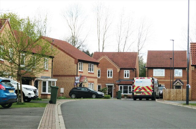
Image: © Gordon Hatton Taken: 29 Apr 2021
Housing development recent enough to be missing from my 1:25000 map. Would this be within the right square? The up to date map on the geograph website confirms that it is.
Images are licensed for reuse under creativecommons.org/licenses/by-sa/2.0
Image Location
Latitude
54.376018
Longitude
-1.687309