Field access track near Nethercott
Introduction
The photograph on this page of Field access track near Nethercott by Derek Harper as part of the Geograph project.
The Geograph project started in 2005 with the aim of publishing, organising and preserving representative images for every square kilometre of Great Britain, Ireland and the Isle of Man.

There are currently over 7.5m images from over 14,400 individuals and you can help contribute to the project by visiting https://www.geograph.org.uk
Field access track near Nethercott
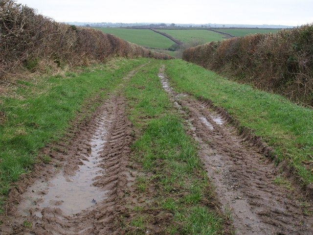
Image: © Derek Harper Taken: 8 Feb 2008
Leading away from the lane to the A388, this wide track between hedges descends towards a tributary of Lana Lake.
Images are licensed for reuse under creativecommons.org/licenses/by-sa/2.0
Image Location


Leaflet Map data © OpenStreetMap
Latitude
50.744952
Longitude
-4.331427