Covet Wood and Poverest Recreation Ground
Introduction
The photograph on this page of Covet Wood and Poverest Recreation Ground by Ian Capper as part of the Geograph project.
The Geograph project started in 2005 with the aim of publishing, organising and preserving representative images for every square kilometre of Great Britain, Ireland and the Isle of Man.

There are currently over 7.5m images from over 14,400 individuals and you can help contribute to the project by visiting https://www.geograph.org.uk
Covet Wood and Poverest Recreation Ground
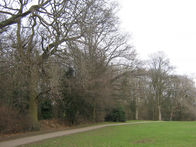
Image: © Ian Capper Taken: 29 Jan 2008
This is the western edge of Covet Wood (see Image), where it borders onto Poverest Recreation Ground.
Images are licensed for reuse under creativecommons.org/licenses/by-sa/2.0
Image Location
Latitude
51.385641
Longitude
0.095186