Rural crossroads near Mount Cottage
Introduction
The photograph on this page of Rural crossroads near Mount Cottage by Roger Templeman as part of the Geograph project.
The Geograph project started in 2005 with the aim of publishing, organising and preserving representative images for every square kilometre of Great Britain, Ireland and the Isle of Man.

There are currently over 7.5m images from over 14,400 individuals and you can help contribute to the project by visiting https://www.geograph.org.uk
Rural crossroads near Mount Cottage
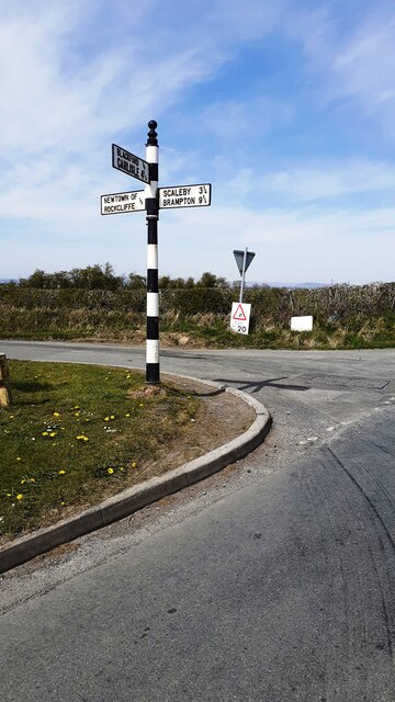
Image: © Roger Templeman Taken: 23 Apr 2021
The Cumberland County Council finger signpost on the verge has Milestone Society National ID: CU_NY3962
Images are licensed for reuse under creativecommons.org/licenses/by-sa/2.0
Image Location
Latitude
54.953126
Longitude
-2.942446