Hall Yard Wood, Keresley, seen from path running from Bennetts Road North
Introduction
The photograph on this page of Hall Yard Wood, Keresley, seen from path running from Bennetts Road North by A J Paxton as part of the Geograph project.
The Geograph project started in 2005 with the aim of publishing, organising and preserving representative images for every square kilometre of Great Britain, Ireland and the Isle of Man.

There are currently over 7.5m images from over 14,400 individuals and you can help contribute to the project by visiting https://www.geograph.org.uk
Hall Yard Wood, Keresley, seen from path running from Bennetts Road North
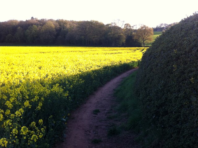
Image: © A J Paxton Taken: 22 Apr 2021
From Bennetts Road North, beyond the built-up area and just before the rugby club, the path leads to the south west, climbing the ridge that extends south east from Burrow Hill in Corley, then descending the other side, as seen in the photo, to a point just north of Hall Yard Wood (which is hidden behind the hedge on the right hand side of this picture). From there a path goes to the left/south east, skirting the edge of the wood, and to the right/north west, climbing towards the Bronze/Iron Age hill fort at Burrow Hill.
Images are licensed for reuse under creativecommons.org/licenses/by-sa/2.0
Image Location
Latitude
52.45822
Longitude
-1.549031