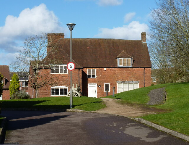
Primrose Hill farmhouse
Introduction
The photograph on this page of Primrose Hill farmhouse by Richard Law as part of the Geograph project.
The Geograph project started in 2005 with the aim of publishing, organising and preserving representative images for every square kilometre of Great Britain, Ireland and the Isle of Man.
There are currently over 7.5m images from over 14,400 individuals and you can help contribute to the project by visiting https://www.geograph.org.uk

Image: © Richard Law Taken: 26 Feb 2020
This fine house is much restored in recent years from a rather derelict state. Although not visible from this direction, the left wall and the rear both have extensive timber framing exposed, and the main construction of the house is of mid-to-late 15th century date. It was Grade II* listed https://britishlistedbuildings.co.uk/101076230-primrose-hill-farmhouse-kings-norton-ward#.YIgrs7VKhPY & https://historicengland.org.uk/listing/the-list/list-entry/1076230 in 1973, at which time it was investigated by English Heritage, who found timbers dated to the 1440s and soon thereafter. There is also a large barn just offshot to the left here, of a similar vintage, and also recently converted to a dwelling.

