High Street, Tring
Introduction
The photograph on this page of High Street, Tring by Stephen McKay as part of the Geograph project.
The Geograph project started in 2005 with the aim of publishing, organising and preserving representative images for every square kilometre of Great Britain, Ireland and the Isle of Man.

There are currently over 7.5m images from over 14,400 individuals and you can help contribute to the project by visiting https://www.geograph.org.uk
High Street, Tring
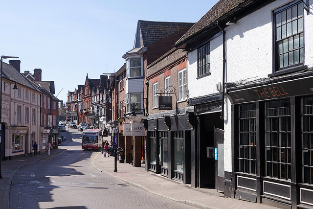
Image: © Stephen McKay Taken: 22 Apr 2021
Tring's High Street runs east - west through the centre of Tring, a market town with a population (in 2013) of 11,731. Until the town was by-passed in 1973, this was a stretch of the A41 which must have caused some chaotic traffic problems - the road is now classified as the B4635. The Bell on the right is a 17th century coaching inn.
Images are licensed for reuse under creativecommons.org/licenses/by-sa/2.0
Image Location
Latitude
51.79354
Longitude
-0.661621