A40 Wycombe Road
Introduction
The photograph on this page of A40 Wycombe Road by Robin Webster as part of the Geograph project.
The Geograph project started in 2005 with the aim of publishing, organising and preserving representative images for every square kilometre of Great Britain, Ireland and the Isle of Man.

There are currently over 7.5m images from over 14,400 individuals and you can help contribute to the project by visiting https://www.geograph.org.uk
A40 Wycombe Road
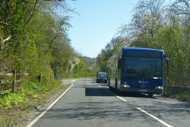
Image: © Robin Webster Taken: 25 Apr 2021
The road is on a deviation from the old route, to descend the hill with an improved gradient and width. The old route merges ahead on the left.
Images are licensed for reuse under creativecommons.org/licenses/by-sa/2.0
Image Location


Leaflet Map data © OpenStreetMap
Latitude
51.643116
Longitude
-0.839771