Rear of Wardle Village Church
Introduction
The photograph on this page of Rear of Wardle Village Church by michael ely as part of the Geograph project.
The Geograph project started in 2005 with the aim of publishing, organising and preserving representative images for every square kilometre of Great Britain, Ireland and the Isle of Man.

There are currently over 7.5m images from over 14,400 individuals and you can help contribute to the project by visiting https://www.geograph.org.uk
Rear of Wardle Village Church
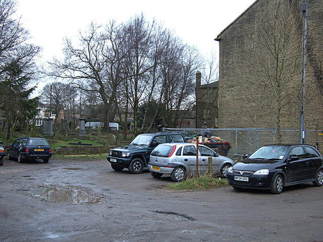
Image: © michael ely Taken: 8 Feb 2008
The church's rear gable is right of shot. The open ground is now used for informal car parking. A resident of 60 years told me that a tannery used to be behind the church/ Methodist chapel.
Images are licensed for reuse under creativecommons.org/licenses/by-sa/2.0
Image Location


Leaflet Map data © OpenStreetMap
Latitude
53.650684
Longitude
-2.13597