Pond, Parrock Lane
Introduction
The photograph on this page of Pond, Parrock Lane by Simon Carey as part of the Geograph project.
The Geograph project started in 2005 with the aim of publishing, organising and preserving representative images for every square kilometre of Great Britain, Ireland and the Isle of Man.

There are currently over 7.5m images from over 14,400 individuals and you can help contribute to the project by visiting https://www.geograph.org.uk
Pond, Parrock Lane
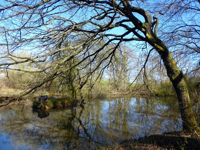
Image: © Simon Carey Taken: 17 Apr 2021
Adjacent to Image but not marked on Hartfield's 1842 tithe map though does appear on the 1874 OS map.
Images are licensed for reuse under creativecommons.org/licenses/by-sa/2.0
Image Location
Latitude
51.09456
Longitude
0.073432