Ashprington from near Tideford
Introduction
The photograph on this page of Ashprington from near Tideford by Derek Harper as part of the Geograph project.
The Geograph project started in 2005 with the aim of publishing, organising and preserving representative images for every square kilometre of Great Britain, Ireland and the Isle of Man.

There are currently over 7.5m images from over 14,400 individuals and you can help contribute to the project by visiting https://www.geograph.org.uk
Ashprington from near Tideford
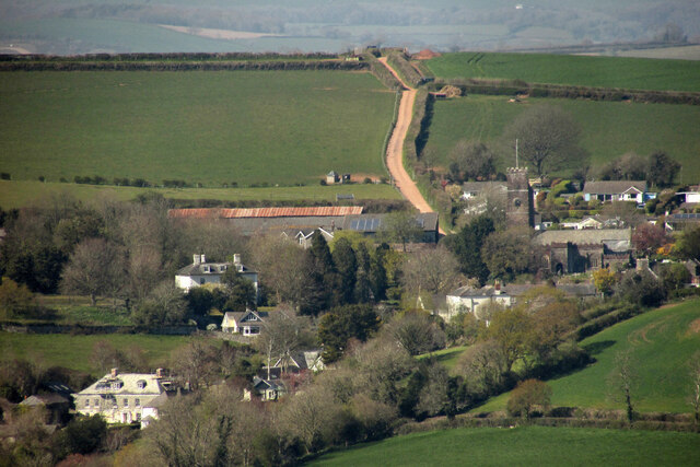
Image: © Derek Harper Taken: 22 Apr 2021
From about three kilometres away on a crop tramline that will hopefully lead us from Cornworthy footpath 5 to footpath 7. The church https://historicengland.org.uk/listing/the-list/list-entry/1108393 was almost impossible to detect with the naked eye, but a little later became much easier to see when a flag was raised on the tower.
Images are licensed for reuse under creativecommons.org/licenses/by-sa/2.0
Image Location
Latitude
50.400956
Longitude
-3.664515