Harleston: The Thoroughfare, looking south
Introduction
The photograph on this page of Harleston: The Thoroughfare, looking south by Christopher Hilton as part of the Geograph project.
The Geograph project started in 2005 with the aim of publishing, organising and preserving representative images for every square kilometre of Great Britain, Ireland and the Isle of Man.

There are currently over 7.5m images from over 14,400 individuals and you can help contribute to the project by visiting https://www.geograph.org.uk
Harleston: The Thoroughfare, looking south
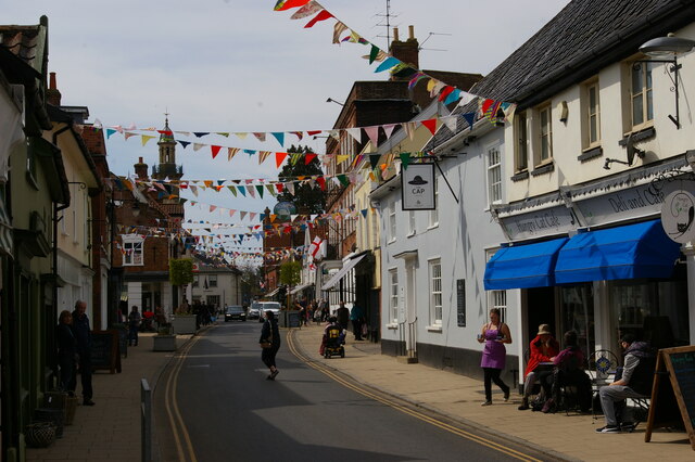
Image: © Christopher Hilton Taken: 24 Apr 2021
Two parallel one-way streets make up the centre of Harleston: The Thoroughfare and Church Street. The plan of the town suggests that these probably form the two sides of a former market place, now filled in by the narrow strip of houses between those two roads.
Images are licensed for reuse under creativecommons.org/licenses/by-sa/2.0
Image Location
Latitude
52.402421
Longitude
1.299534