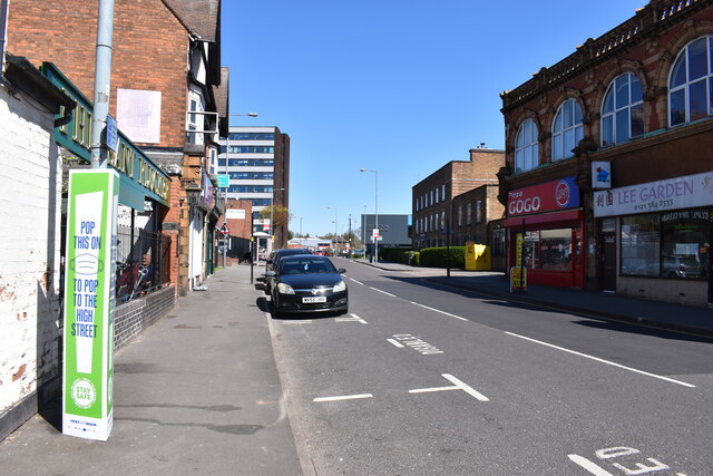
Orphanage Road north-northeast - Erdington, Birmingham
Introduction
The photograph on this page of Orphanage Road north-northeast - Erdington, Birmingham by Martin Richard Phelan as part of the Geograph project.
The Geograph project started in 2005 with the aim of publishing, organising and preserving representative images for every square kilometre of Great Britain, Ireland and the Isle of Man.
There are currently over 7.5m images from over 14,400 individuals and you can help contribute to the project by visiting https://www.geograph.org.uk

Image: © Martin Richard Phelan Taken: 22 Apr 2021
Looking north-northeast on Orphanage Road. On the left another reminder of the Covid-19 pandemic, unless you are exempt for some reason. Next the Pheasant Plucker pub (public house) and ahead the multi-storey bulk of Nexus Point, formerly the Honeywell Building. The many-windowed brick building on the right is Erdington Fire Station. Beyond it on the right stands Erdington Leisure Centre. Time photo taken 12.38 pm BST (British Summer Time).

