Northallerton Road, Brompton
Introduction
The photograph on this page of Northallerton Road, Brompton by Gordon Hatton as part of the Geograph project.
The Geograph project started in 2005 with the aim of publishing, organising and preserving representative images for every square kilometre of Great Britain, Ireland and the Isle of Man.

There are currently over 7.5m images from over 14,400 individuals and you can help contribute to the project by visiting https://www.geograph.org.uk
Northallerton Road, Brompton
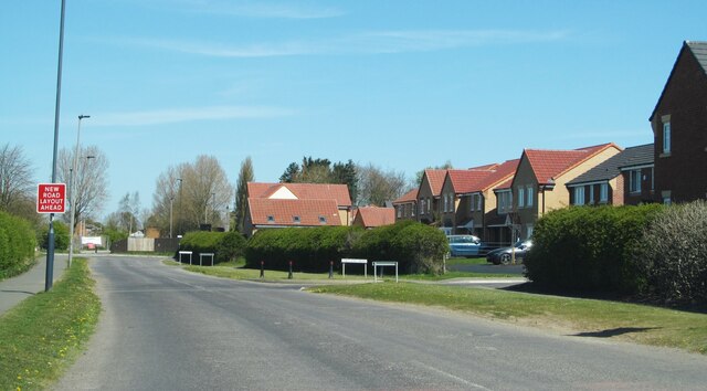
Image: © Gordon Hatton Taken: 23 Apr 2021
Until recently this was the main route north from Northallerton into the adjoining village of Brompton, but it has now become a cul de sac due to the construction of a northern relief road for the town. Another route into Brompton is now open, whilst new housing development, including that to the right of this photo, is everywhere.
Images are licensed for reuse under creativecommons.org/licenses/by-sa/2.0
Image Location
Latitude
54.350372
Longitude
-1.431808