Public footpath direction sign at the southern edge of Llanharry
Introduction
The photograph on this page of Public footpath direction sign at the southern edge of Llanharry by Jaggery as part of the Geograph project.
The Geograph project started in 2005 with the aim of publishing, organising and preserving representative images for every square kilometre of Great Britain, Ireland and the Isle of Man.

There are currently over 7.5m images from over 14,400 individuals and you can help contribute to the project by visiting https://www.geograph.org.uk
Public footpath direction sign at the southern edge of Llanharry
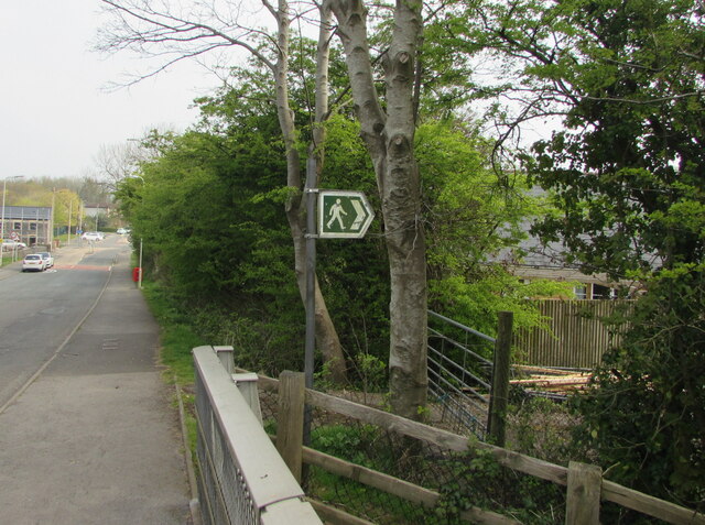
Image: © Jaggery Taken: 21 Apr 2021
The white arrow on the green sign points towards this track https://www.geograph.org.uk/photo/6815451 near the north side of the M4 motorway.
Images are licensed for reuse under creativecommons.org/licenses/by-sa/2.0
Image Location
Latitude
51.510388
Longitude
-3.43675