East along the M4 motorway, Llanharry
Introduction
The photograph on this page of East along the M4 motorway, Llanharry by Jaggery as part of the Geograph project.
The Geograph project started in 2005 with the aim of publishing, organising and preserving representative images for every square kilometre of Great Britain, Ireland and the Isle of Man.

There are currently over 7.5m images from over 14,400 individuals and you can help contribute to the project by visiting https://www.geograph.org.uk
East along the M4 motorway, Llanharry
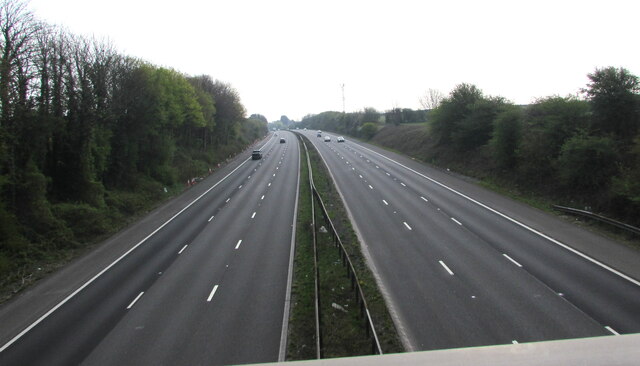
Image: © Jaggery Taken: 21 Apr 2021
Viewed from this https://www.geograph.org.uk/photo/6815427 bridge at the southern edge of Llanharry in Rhondda Cynon Taff County Borough.
Images are licensed for reuse under creativecommons.org/licenses/by-sa/2.0
Image Location
Latitude
51.510143
Longitude
-3.434724