Rock cutting, Weetwood Lane
Introduction
The photograph on this page of Rock cutting, Weetwood Lane by Stephen Craven as part of the Geograph project.
The Geograph project started in 2005 with the aim of publishing, organising and preserving representative images for every square kilometre of Great Britain, Ireland and the Isle of Man.

There are currently over 7.5m images from over 14,400 individuals and you can help contribute to the project by visiting https://www.geograph.org.uk
Rock cutting, Weetwood Lane
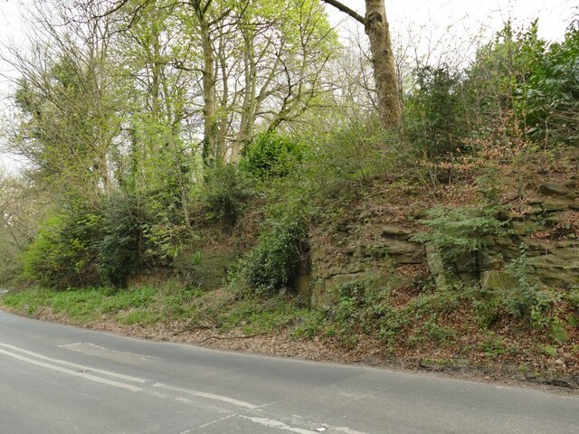
Image: © Stephen Craven Taken: 20 Apr 2021
There were formerly several quarries on the hill to the east of here, but I presume this is a rock face exposed by making a cutting for the road.
Images are licensed for reuse under creativecommons.org/licenses/by-sa/2.0
Image Location
Latitude
53.835371
Longitude
-1.583155