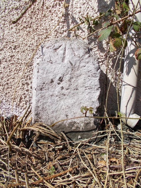
Old milestone
Introduction
The photograph on this page of Old milestone by John Riddell as part of the Geograph project.
The Geograph project started in 2005 with the aim of publishing, organising and preserving representative images for every square kilometre of Great Britain, Ireland and the Isle of Man.
There are currently over 7.5m images from over 14,400 individuals and you can help contribute to the project by visiting https://www.geograph.org.uk

Image: © John Riddell Taken: 17 Apr 2021
On Main Street in Lilliesleaf at the corner of Lilybank Cottage is this milestone which would have had NEWTOWN 6 MILES inscribed or painted on. (Newtown St Boswells) A bench mark is at the front top, visible even though the stone has been covered in wetdash harling to match the wall. It is marked on the 1897 OS 6" map and may be from the Newtown to Hassendean turnpike era. There are stones at 1, 2 and 3 miles from Newtown of a similar size and shape.

