Path to Northedge
Introduction
The photograph on this page of Path to Northedge by Bill Boaden as part of the Geograph project.
The Geograph project started in 2005 with the aim of publishing, organising and preserving representative images for every square kilometre of Great Britain, Ireland and the Isle of Man.

There are currently over 7.5m images from over 14,400 individuals and you can help contribute to the project by visiting https://www.geograph.org.uk
Path to Northedge
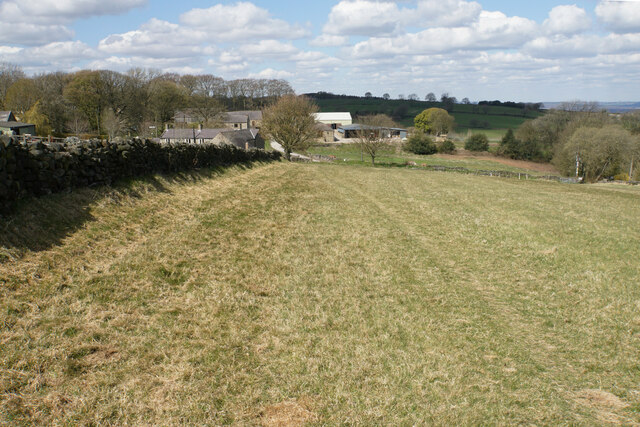
Image: © Bill Boaden Taken: 15 Apr 2021
My OS map suggests that the path should be on the other side of the wall to the left, but it would have to run through a building if so. It is clearly marked on this side.
Images are licensed for reuse under creativecommons.org/licenses/by-sa/2.0
Image Location
Latitude
53.180714
Longitude
-1.463836