View up the High Street, New Aberdour
Introduction
The photograph on this page of View up the High Street, New Aberdour by Bill Harrison as part of the Geograph project.
The Geograph project started in 2005 with the aim of publishing, organising and preserving representative images for every square kilometre of Great Britain, Ireland and the Isle of Man.

There are currently over 7.5m images from over 14,400 individuals and you can help contribute to the project by visiting https://www.geograph.org.uk
View up the High Street, New Aberdour
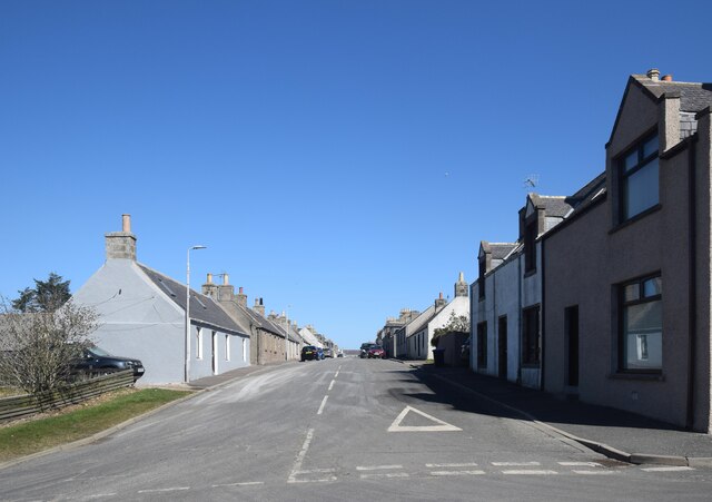
Image: © Bill Harrison Taken: 16 Apr 2021
The street is some 600 metres long, with the parish kirk just visible at the other end.
Images are licensed for reuse under creativecommons.org/licenses/by-sa/2.0
Image Location
Latitude
57.655492
Longitude
-2.196375