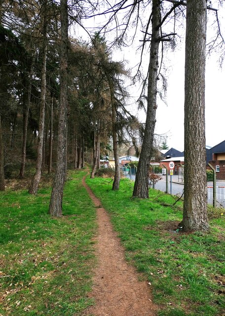
Footpath running through Vicarage Farm Heath, Kidderminster, Worcs
Introduction
The photograph on this page of Footpath running through Vicarage Farm Heath, Kidderminster, Worcs by P L Chadwick as part of the Geograph project.
The Geograph project started in 2005 with the aim of publishing, organising and preserving representative images for every square kilometre of Great Britain, Ireland and the Isle of Man.
There are currently over 7.5m images from over 14,400 individuals and you can help contribute to the project by visiting https://www.geograph.org.uk

Image: © P L Chadwick Taken: 6 Mar 2021
This is the main footpath running north to south, mainly adjacent to the western edge of the industrial premises on Stourport Road, from which it is securely fenced. A glimpse of some of those premises can be seen on the right. The southern end, shown here, starts just behind the camera position from an entrance in Walter Nash Road West. The northern end comes out on a green area within easy walking distance of the Loom & Shuttle public house. There are other entrances from the Birchen Coppice Estate. Image

